Advancing geo-intelligence. Empowering tomorrow.
24 November 2025, Za'abeel Hall 6

Za'abeel Hall 6, Dubai World Trade Centre
Za'abeel Hall 6, Dubai World Trade Centre
Supporting partners


Collaborate with public entities, private companies and geotech leaders
using location data to drive smarter action.
This programme is designed to give you:
• Partnerships that move your work forward.
• Alignment on standards that speed up delivery.
• Insights on using geotech to reduce risk, costs & timelines.
• Clarity, connections and the confidence to lead.
Turn location data complexity into clarity at GeoWorld Summit.
Date: 24 November 2025
Time: 12 pm – 5:30 pm
Our agenda addresses the conversations happening across ministries, control rooms and boardrooms:
• How do we build the data clarity and system trust to act decisively?
• How do we prove ROI and secure funding under tight budgets?
• Who can help us move from fragmented tools to integrated, scalable solutions?
Key themes
Every theme is tailored to where stakes are highest. From governance to deployment, the agenda tackles the realities shaping your next moves.
Geospatial intelligence and national security
Secure critical assets
for defense and
disaster response.
Geospatial data science and the space economy
Explore which sectors
benefit from satellite data,
AI and analytics.

Sustainable urban and regional development
Design cities that work economically, socially
band environmentally.

Mobility and
infrastructure
Realize connected and
responsive transit
and public systems.

GeoWorld Summit is built to help you act on urgent priorities faster, with fewer roadblocks. Every session gives you clear strategies, proven models and access to people who can help you deliver. Here’s how it helps you:

Governments and
Municipalities
Need to plan faster and deliver smarter?
Learn how cities and ministries are using geospatial insight to cut delays, manage risk and improve public outcomes.

National Mapping and
Data Authorities
Struggling with fragmented systems?
Discover what’s working in federated models, digital twins and governance from peers across the region.
Geospatial Service and Tech Providers
Want buyers ready to deploy your tech?
Connect directly with public & private sector leaders sourcing solutions for defense, utilities and more.

End Users
Across Sectors
Balancing cost, compliance and impact?
See how spatial tech is already delivering ROI in mobility, agriculture, logistics and emergency response.

Research and
Academia
Turning research into real-world change?
This is where research meets real-world application: on stage, in sessions and through high-impact partnerships.

Development Banks and
Funding Bodies
Need credible pipelines for investment?
Meet national agencies building geospatial infrastructure, giving you trusted pipelines for investment.


Executive Board Member & CEOGlobal Alliance for Artificial Intelligence (GAFAI)
Vice President & Director, Advisory & Innovation - Woolpert Asia-Pacific Chair, United Nations Global Geospatial Information Management - Geospatial Societies (UN-GGIM: GS)

Director - Amity Dubai Satellite Ground Station and AmiSatAmity University Dubai

Director of Consulting, Research and Decision Support DepartmentGeneral Authority for Survey and Geospatial Information (GEOSA)

ProfessorInternational Centre on Space Technologies for Natural and Cultural Heritage under the Auspices of UNESCO

Chief Executive Officer Meter platform and application

ProfessorKing Abdulaziz University

Board MemberEarth Observations for Sustainable Development Goals (EO4SDG) Initiative, UAE

Regional Director - Transport Advisory & Mobility PlanningZutari Engineering International Pty Ltd - Dubai Branch

Chief Technology Officer, Smart SolutionsSpace42

Post Doctoral Research FellowAmerican University of Sharjah
Director - Smart CitiesKEO International Consultants

ProfessorAmerican University of Sharjah

Head of the Spatial Data Unit - Directorate of Geo DataRiyadh Region Municipality

Client Account Director Jacobs

Technical Adviser/ Managing DirectorGeospatial: Government Digital Service, UK/Utility Information Services Ltd

Data Strategist / Speaker / Thought LeaderPan-Afican Institute of Evidence

Advisory ConsultantIndependent

Unlocking the power of geospatial data: A governance framework for the next decade
Key takeaways for delegates:
You'll learn how to balance privacy, standards and access while using AI and collaboration to unlock geospatial data’s full potential for better decisions.

Satellites and the city: How ground stations are powering a sustainable 'Geoworld' from Dubai
Key takeaways for delegates:
You'll discover how satellites fuel smarter, sustainable cities, power the space economy and build the next generation of geo-intelligence professionals.
Geospatial data-driven studies and consulting: Enabling decision-making across sectors
Key takeaways for delegates:
You'll explore real case studies that show how geospatial data drives decisions in security, sustainability and development through cross-sector collaboration.

Urban innovation: Integrating development and transportation planning
Key takeaways for delegates:
You'll find out how integrated planning, data and new tech improve transport, accessibility and sustainability to make cities more efficient and livable.

If someone wants updates on the latest technologies in geospatial solutions, Geoworld summit is the place to be.
Inspiration, regulation and innovation are the characteristics of GeoWorld.

Excellent experience. An event that focuses on innovation and provides many networking opportunities.

This event is an annual update on all construction solutions that keep us up to date with all possible growth and diversification on products & services.

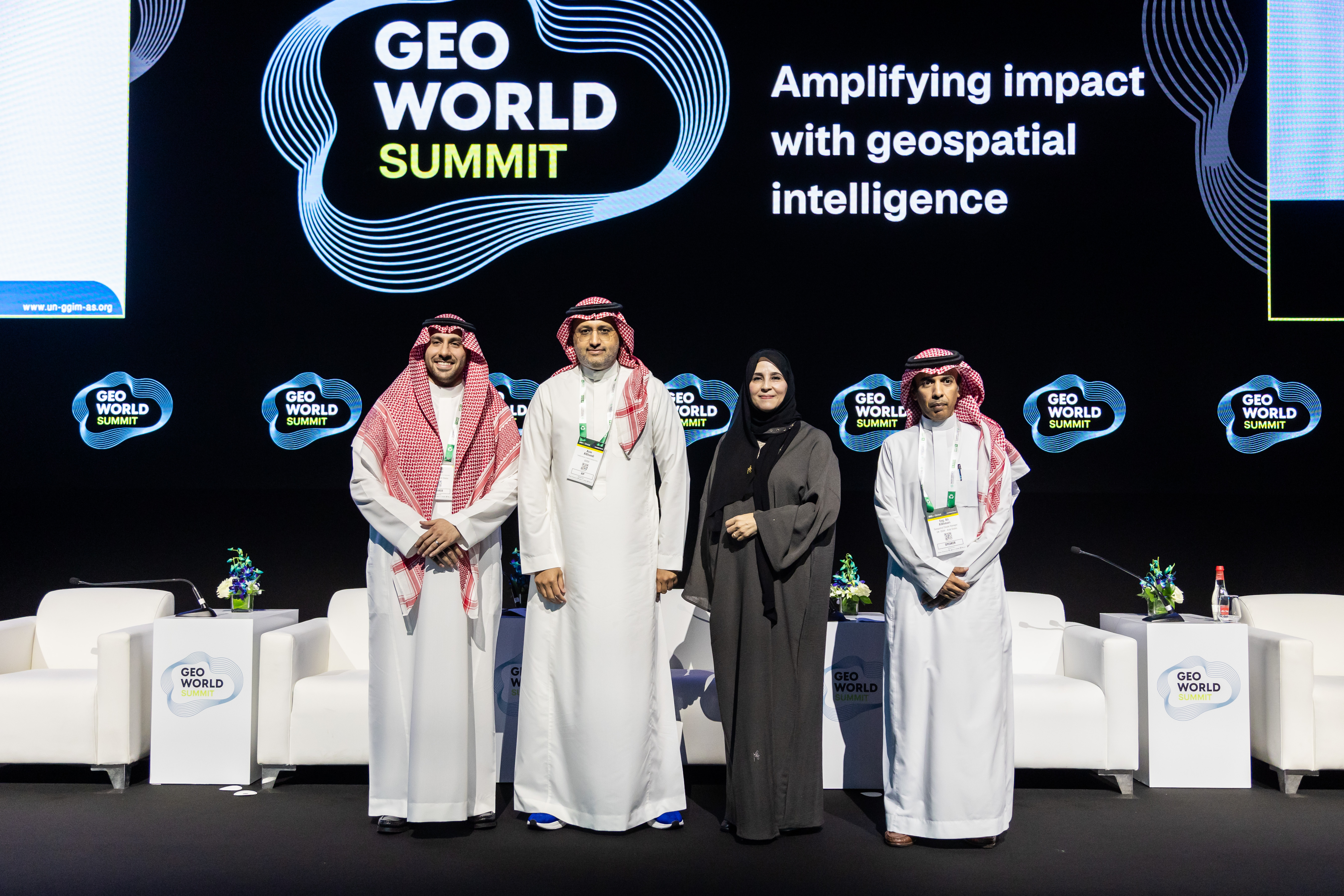
GeoWorld Summit’s expert board ensures an agenda that connects spatial data to industry needs and is built for clarity through connection.
Vice President & Director Advisory and Innovation, Woolpert Chair, United Nations Global Geospatial Information Management - Geospatial Societies (UN-GGIM: GS)

Head of Geospatial
Systems SectionDubai Municipality

PresidentChartered Institution of Civil Engineering Surveyors

ProfessorAmerican University of Sharjah

Sr. Manager Geotechnical EngineeringDubai Development Authority

Associate DirectorPwC
Resident Expert,
Space ApplicationsIN-SPACe

Principal Geospatial Consultant, Ordnance Survey Board Member, Earth Observations for Sustainable Development Goals (EO4SDG) Initiative, UAE


![]()
Date: 24 November 2025
Time: 12 pm – 5:30 pm
Dubai World Trade Centre
Note: Visitors under age 21 will not be permitted.